ShardlowHeritage Centre
1882Map of Shardlow
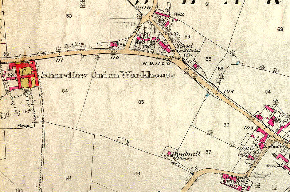
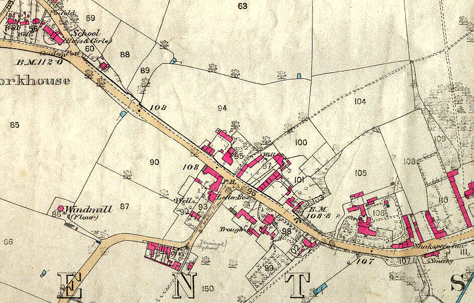
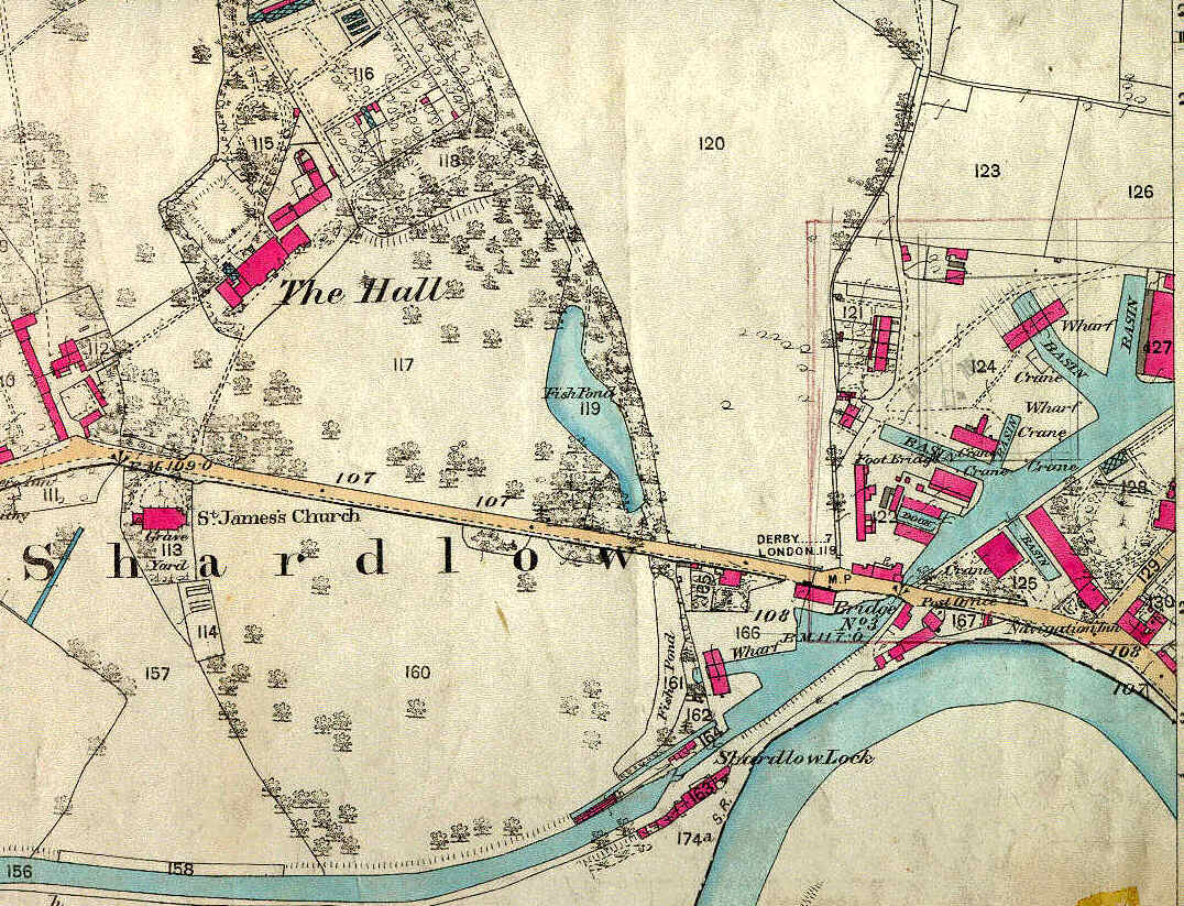
3 sections from a coloured original (in possession of the ShardlowHeritage Trust) that covered most of the village and part of the port complex 
1882 map Shardlow West1882 map Shardlow west-central1882 map Shardlow east-central
1882 map Shardlow east
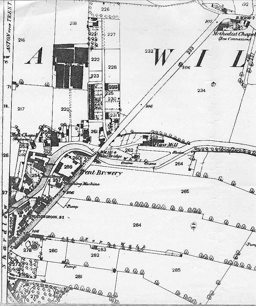
The remainder of the port complex is shown on this b/w print ofthe same period, from a photocopy provided by a former resident of thevillage. 
 
Visit Shardlow and its HeritageCentre for a fascinating insight into this 18th century canal transhipmentport. Follow the village trail, on sale at the Heritage Centre!  Seeour home page.
 
LINKS TO OTHER PAGES IN THIS SITE 
Home Pageand update info
Exhibitionand Special Events  
BriefHistory of the Village 
1882 Mapof Shardlow (THIS PAGE)
Shardlow- placename and surname 
A Walk throughthe Village
PhotoGallery 
Dobson's boat yard 
War Memorial WWI   (NEW PAGE 17/01/2020) 
Linksto Related Sites 
 
THE WORKING PORT
NOW IN THE FOLLOWING 5 PAGES:
 Setting the Scene and 1852 Plan
 Carriers by River and Canal at Shardlow 
 Boatbuilders at Shardlow 
 Other Traders in the Canal Port 
 Local Waterways on Old Postcards 


last updated on 1 December 2000